Columbus and Franklin County Metro Parks
![]() Many of the Metro Parks have trails rated “easy”. Call to see if they would be easy for you. Here is their website.
Many of the Metro Parks have trails rated “easy”. Call to see if they would be easy for you. Here is their website.
Battelle Darby Creek phone 614-370-6254 or Nature Center 614-878-7106 Trails
“Battelle Darby Creek features more than 7,000 acres of forest, prairies and wetlands. It stretches along 13 miles of the Big and Little Darby creeks, both State and National Scenic Rivers. ……. there are also over 1,600 acres of restored wetlands and prairies. ”
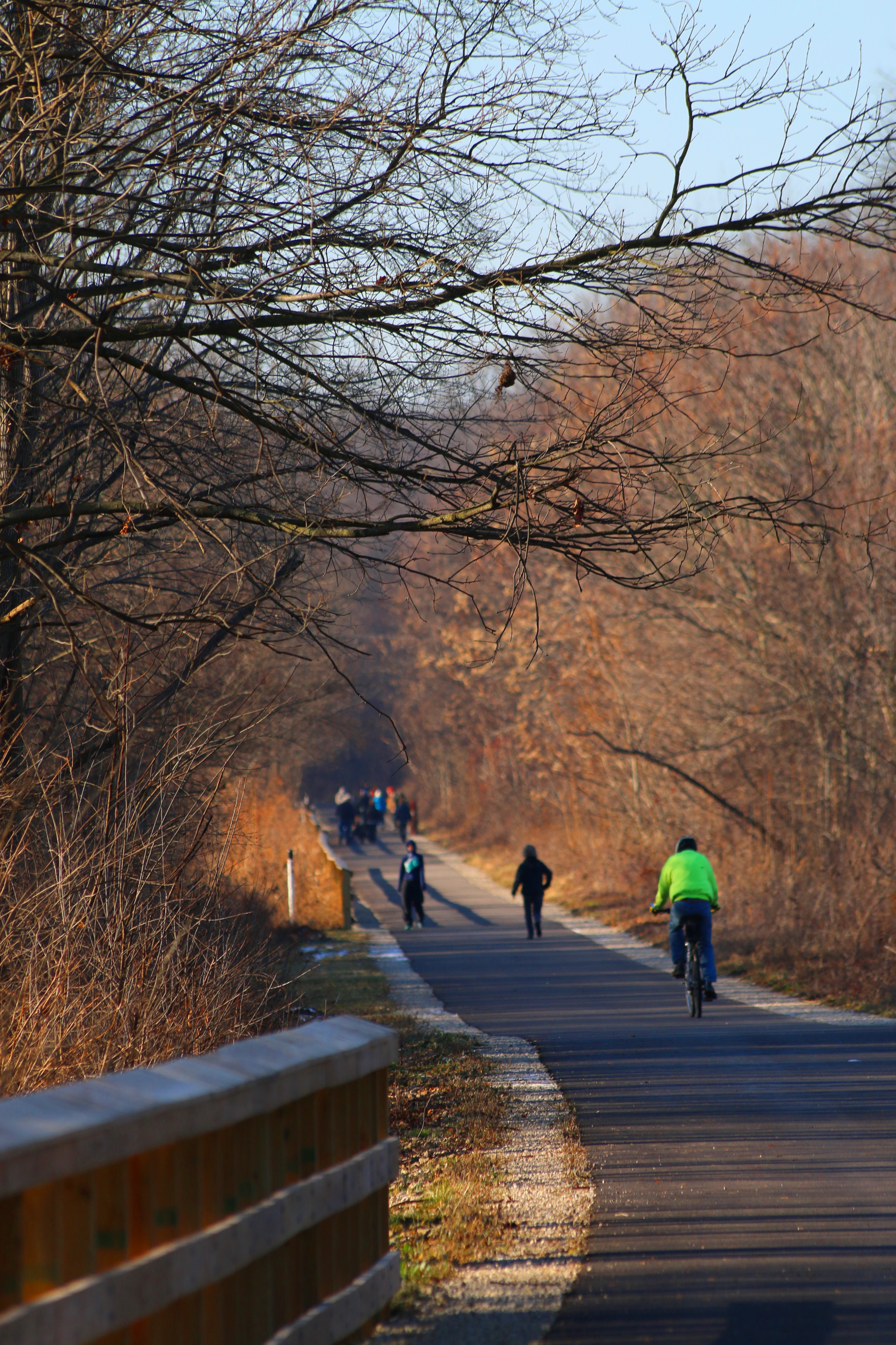
![]() Darby Creek Greenway 4.7 miles. “Flat trail through the prairies and woods that intersects the two bison pastures.”
Darby Creek Greenway 4.7 miles. “Flat trail through the prairies and woods that intersects the two bison pastures.”
Blacklick Woods Map Trails phone 614.861.8759 There are six trails here, All of them ADA!
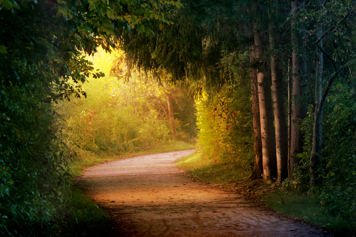
![]() Beech Trail 0.5 miles. “Passes through a beech-maple forest with beautiful displays of spring wildflowers, and continues past a swamp forest area.”
Beech Trail 0.5 miles. “Passes through a beech-maple forest with beautiful displays of spring wildflowers, and continues past a swamp forest area.”
![]() Maple Loop 0.9 miles “Good for birding, traversing hardwood forest and passing a small wetland.”
Maple Loop 0.9 miles “Good for birding, traversing hardwood forest and passing a small wetland.”
![]() Multipurpose Trail 4.1 miles “Passes through a forest and a meadow.”
Multipurpose Trail 4.1 miles “Passes through a forest and a meadow.”
![]() Blacklick Creek Greenway 18 miles. “Connects three Metro Parks and several small parks from Reynoldsburg to Groveport.”
Blacklick Creek Greenway 18 miles. “Connects three Metro Parks and several small parks from Reynoldsburg to Groveport.”
![]() Buttonbush Trail 0.5 miles. “Runs through a hardwood swamp forest.”
Buttonbush Trail 0.5 miles. “Runs through a hardwood swamp forest.”
![]() Walter A. Tucker Trail 0.1 miles “Links the Buttonbush and Maple trails.”
Walter A. Tucker Trail 0.1 miles “Links the Buttonbush and Maple trails.”
Blendon Woods Trails phone 614-620-1861 or nature center 614-895-6221
![]() ? There are six trails here rated “easy”. I suggest you call to see if they are suitable for your limitations.
? There are six trails here rated “easy”. I suggest you call to see if they are suitable for your limitations.
Glacier Ridge Trails Map phone 614-216-8859
![]() Ironweed 2.8 miles “Goes through woods and fields and leads to Honda Wetland Education Center.”
Ironweed 2.8 miles “Goes through woods and fields and leads to Honda Wetland Education Center.”
![]() Marsh Hawk 3 miles paved “Goes through woods and fields.”
Marsh Hawk 3 miles paved “Goes through woods and fields.”
Highbanks Trails Map phone 614-906-3149 or the Nature Center at 614-846-9962
![]() Big Meadows Path 1 mile paved path “through meadows and playfields.”
Big Meadows Path 1 mile paved path “through meadows and playfields.”
![]() Scenic River 0.6 miles ” goes through forest and along the Olentangy river.
Scenic River 0.6 miles ” goes through forest and along the Olentangy river.
Prairie Oaks Trails Map phone 614-208-4321
![]() Darby Creek Greenway is 3.4 miles and “winds through Darby Bend Lakes area and crosses Big Darby Creek.”
Darby Creek Greenway is 3.4 miles and “winds through Darby Bend Lakes area and crosses Big Darby Creek.”
Scioto Audubon Trails Map phone 614-202-5197
![]() Scioto Greenway 2 miles paved path that “stretches along the Scioto River and links the southern and north section of the greenway trail.”
Scioto Greenway 2 miles paved path that “stretches along the Scioto River and links the southern and north section of the greenway trail.”
Sharon Woods Trails Map phone 614-620-1865
![]() Edward S Thomas 1.1 miles which “winds through a state nature preserve and past large burr oaks and an observation deck. ”
Edward S Thomas 1.1 miles which “winds through a state nature preserve and past large burr oaks and an observation deck. ”
![]() Multipurpose 3.8 miles “loops around the park and passes through woods and fields.”
Multipurpose 3.8 miles “loops around the park and passes through woods and fields.”
Slate Run Trails Map phone 614-329-1392
![]() Bobolink grassland 1.5 miles “winds through grassland and leads to an observation deck overlooking the wetlands.”
Bobolink grassland 1.5 miles “winds through grassland and leads to an observation deck overlooking the wetlands.”
Three Creeks Trails Map phone 614-208-2874
![]() Alum Creek Greenway 7.3 miles paved path which “runs alongside Alum Creek and crosses a 300-foot bridge below the confluence of the Alum, Big walnut and Blacklick creeks.”
Alum Creek Greenway 7.3 miles paved path which “runs alongside Alum Creek and crosses a 300-foot bridge below the confluence of the Alum, Big walnut and Blacklick creeks.”