Dixie National Forest
The almost 2,000,000 acres of Dixie National Forest stretch for about 170 miles across southern Utah. The forest includes Red Canyon and Hell’s Backbone Bridge. There are many opportunities for “hiking, fishing, and viewing outstanding scenery.”
Here is the Forest website. Phone 801-466-6411 Maps
Red Canyon Powell Ranger District Visitor Center Phone 435-676-2676 Trails Map and Descriptions The map omits the easy Hoodoo Trail. Red Canyon is a lovely place near Bryce National Park, but without the crowds.
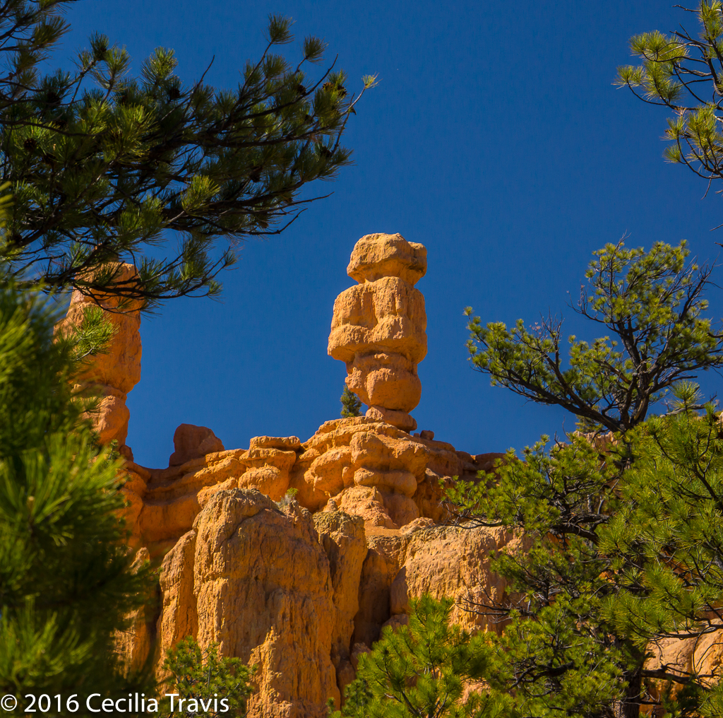
![]() Hoodoo Trail #3011 0.3 mile “Walk under the hoodoos, through sagebrush, pinyon, and juniper trees.”
Hoodoo Trail #3011 0.3 mile “Walk under the hoodoos, through sagebrush, pinyon, and juniper trees.”
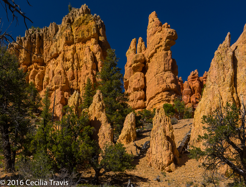
![]() Pink Ledges Interpretive Trail 0.4 miles This trail is a bit more difficult than the Hoodoo, so you may just want to go for part of it and then turn around if you don’t like the slope.
Pink Ledges Interpretive Trail 0.4 miles This trail is a bit more difficult than the Hoodoo, so you may just want to go for part of it and then turn around if you don’t like the slope.